


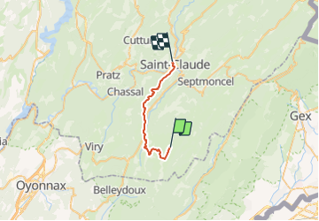
PNR Haut-Jura 7/7 L'Embossieux à St Claude - 20,7 km - 6h30

Bastet
User

Length
21 km

Max alt
1226 m

Uphill gradient
508 m
Km-Effort
30 km

Min alt
395 m

Downhill gradient
1233 m
Boucle
No
Creation date :
2018-05-14 00:00:00.0
Updated on :
2018-05-14 00:00:00.0
6h30
Difficulty : Medium

FREE GPS app for hiking
 SityTrail
IGN / Geographical institutes
SityTrail Plus
The world is yours!
About
Trail Walking of 21 km to be discovered at Bourgogne-Franche-Comté, Jura, La Pesse. This trail is proposed by Bastet.
Positioning
Country:
France
Region :
Bourgogne-Franche-Comté
Department/Province :
Jura
Municipality :
La Pesse
Location:
Unknown
Start:(Dec)
Start:(UTM)
720011 ; 5131139 (31T) N.
Comments